Fuel · Smythesdale
Service station
Glenelg Highway, at the north end of town
Fuel, on the highway out towards Ballarat.
Nearest
- Smythesdale Sand and Soil510 m
- Smythesdale Progress Association720 m
- Smythesdale Walking Group720 m
- Smythesdale Gardens720 m
- Police station970 m
- Smythesdale Fire Brigade1.0 km
Distances in a straight line.
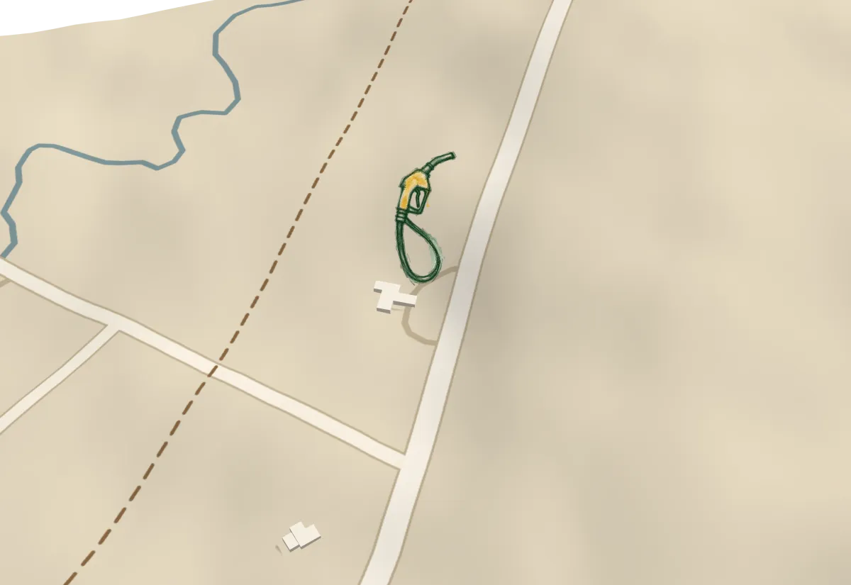 Service station
Map data © OpenStreetMap contributors · Building footprints © Microsoft · Terrain © Commonwealth of Australia (Geoscience Australia) 2017; SRTM courtesy of the U.S. Geological Survey; via Mapzen Terrain Tiles